Remote monitoring by means of LiDAR innovative technology
Acquisition of a latest-generation 3D laser scanner
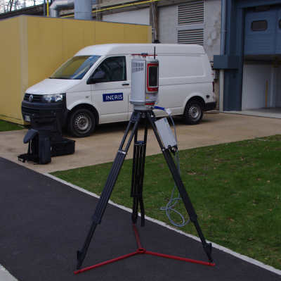
Ineris Ground and Underground Risks Division recently acquired a latest-generation 3D laser scanner and thus completes its range of auscultation and monitoring tools. This 4-km-scanning-range tool enables to produce 3D topographical surveys with millimetric accuracy. Capable of acquiring up to 222.000 measurement points per second, the on-board computer performs innovative data processing, especially for big geostructures and in case of bad weather conditions. The aim of this tool is to give the possibility to perform new research and study projects regarding, among others, the impacts of the climate changes on the stability of rocky front edges located in hard reachable places.