Improving knowledge about ground movement hazard, Bonifacio
Ineris, together with the BRGM and the Cerema, is participating in a study to improve the knowledge about the “wide-collapse” ground movement hazard of the cliff located below Bonifacio Citadel. The works are performed in the framework of a research agreement with the Departmental Division of the territories and the sea (DDTM) and under the auspices of the General Division for the prevention of risks (DGPR).
christian.franck@ineris.fr-
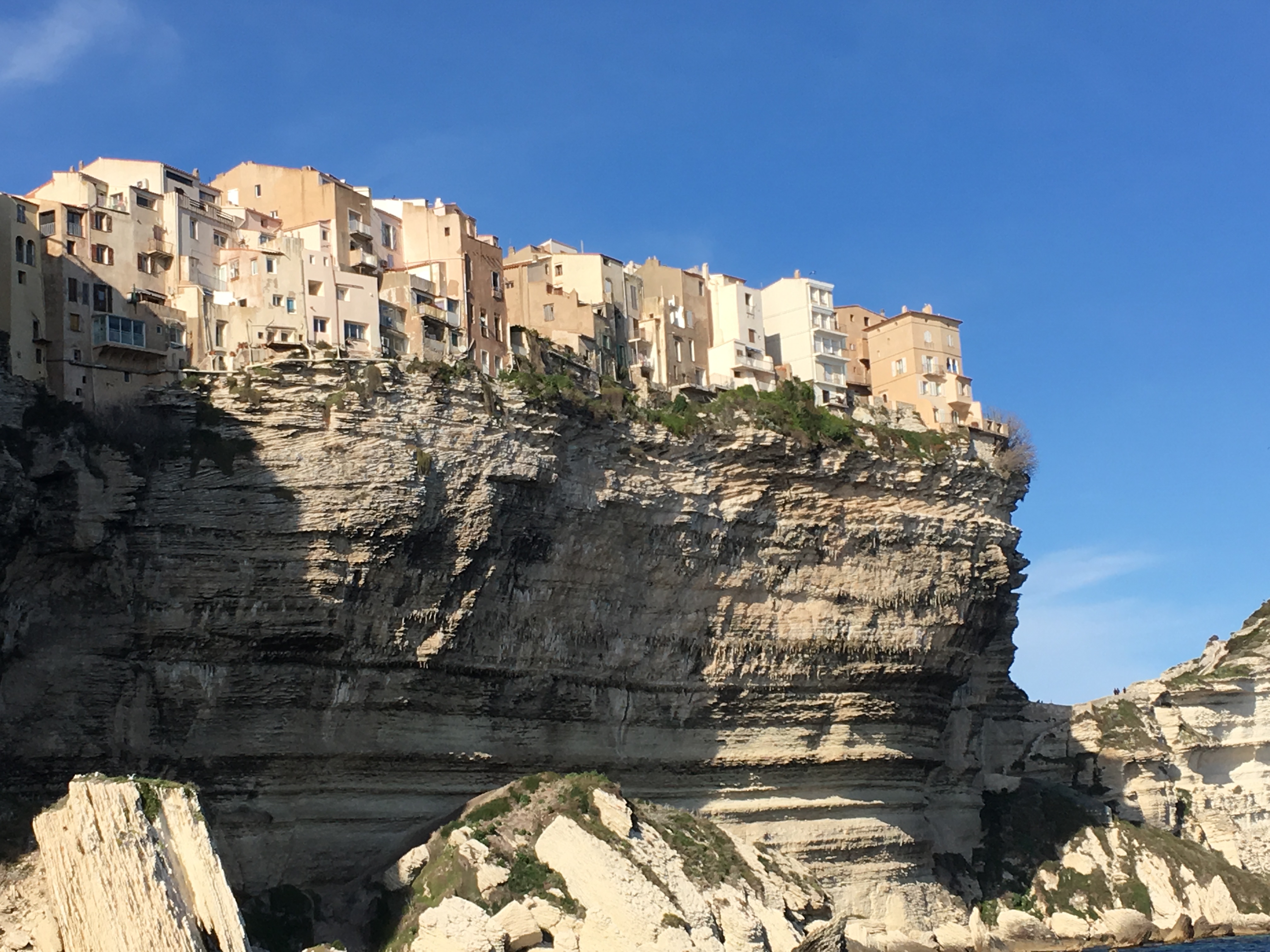
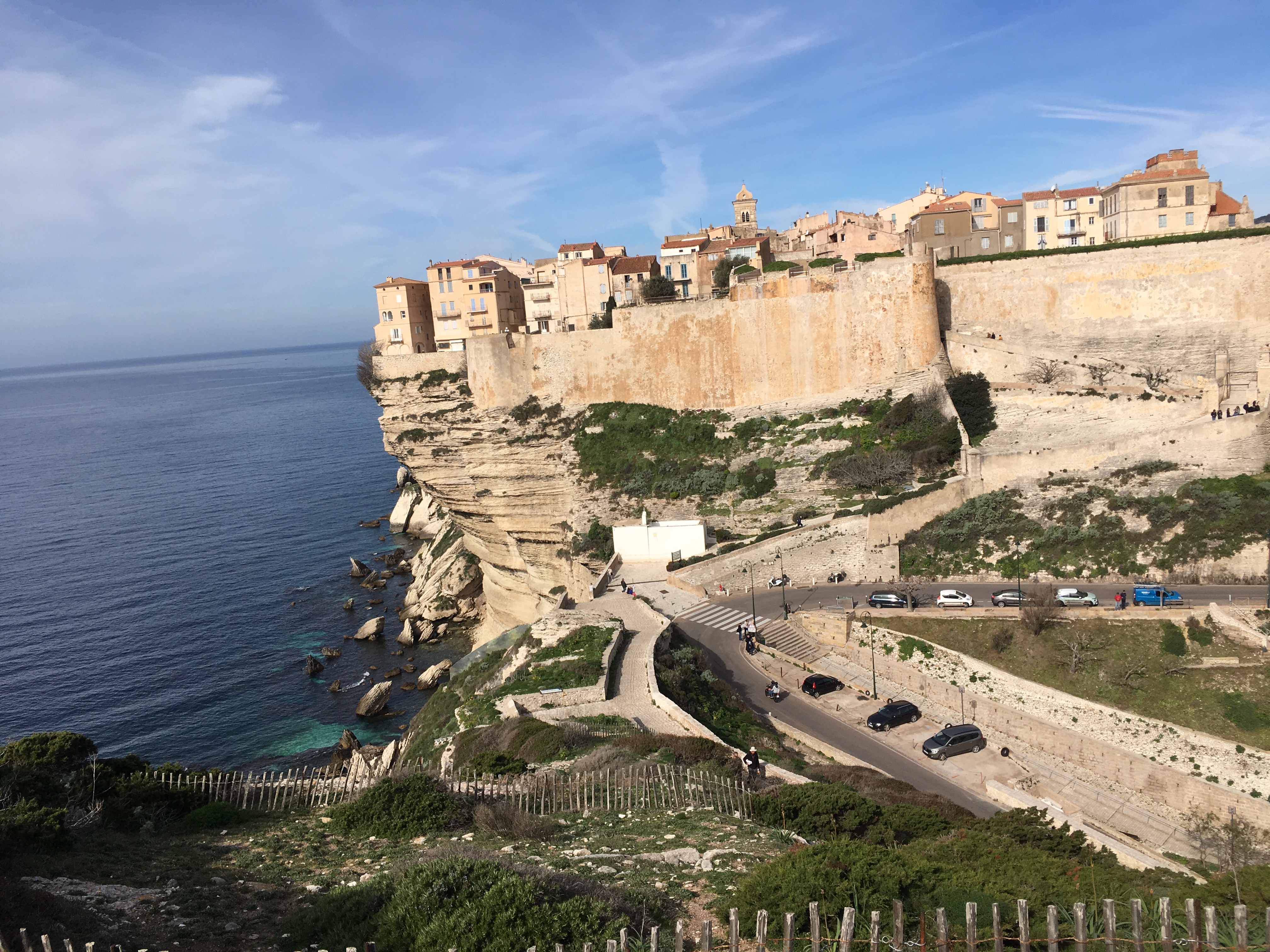
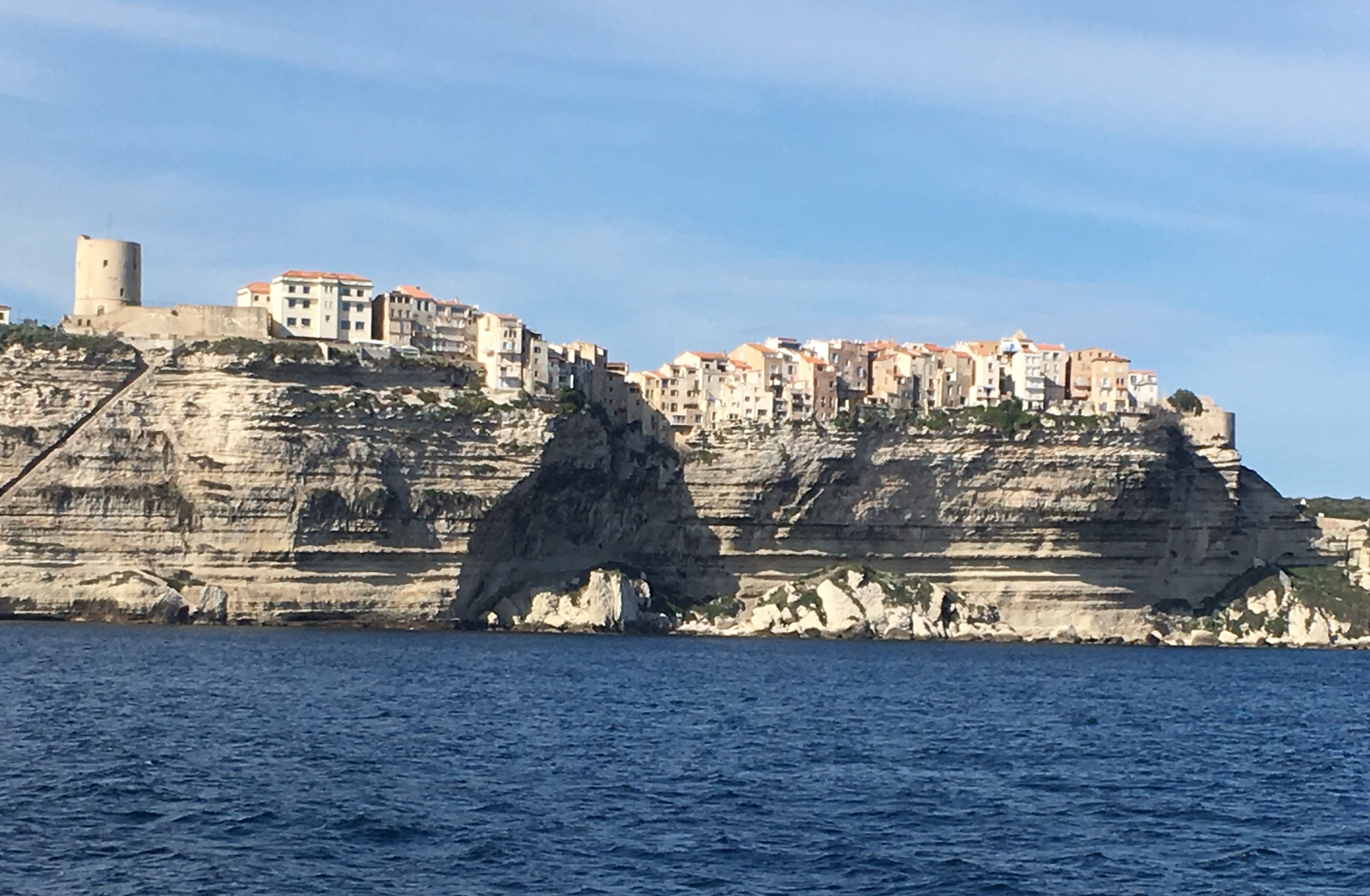
Visited by more than one million people every year, Bonifacio Citadel is characterised by old and dense buildings located above a badly-eroded 20-m-corbelled section of the cliff. Hazard studies led by the Cerema until now have highlighted the necessity to perform complementary geotechnical monitoring for 18 months.
In addition to the expertise about rock fronts’ stability, Ineris partners focus their inputs on their competences in numerical modelling and on the solutions for geotechnical monitoring. In particular, e.Cenaris web-monitoring platform for the supervision of geological and geotechnical risks and the long-range terrestrial LiDAR are used for an accurate observation of the cliff and the management of the acquired data.