The CENARIS
About the Cenaris
The research, expertise and alert center dedicated to the ground and underground observation and monitoring
History and missions
The National Monitoring Center for Ground and Underground Risks (Cenaris) was created in 2006 by Ineris and is located at Mines Nancy, France. It is a research, expertise and alert center dedicated to the ground and underground observation and monitoring.
It aims to develop and to implement both tools and methods enabling to improve the understanding of physical processes linked to instabilities and disasters, and to enhance the expertise applied to risk management.
Structure
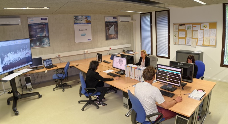
The Cenaris manages observation and monitoring systems in France and in Europe.
A team of engineers ensures a 7-days-a-week monitoring duty period. It is completed by a team in charge of the management of the networks and is principally based on the skills and resources of Ground and Underground Risks Division.
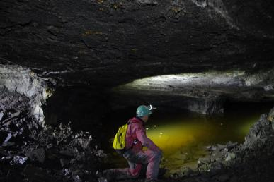
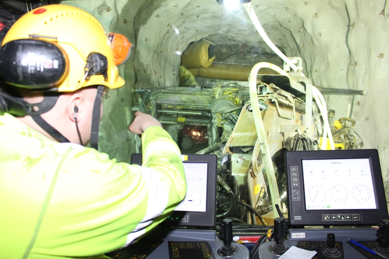
Main intervention areas:
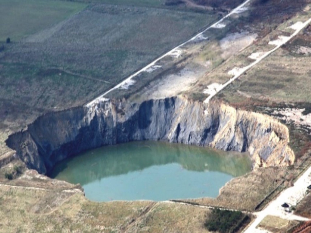
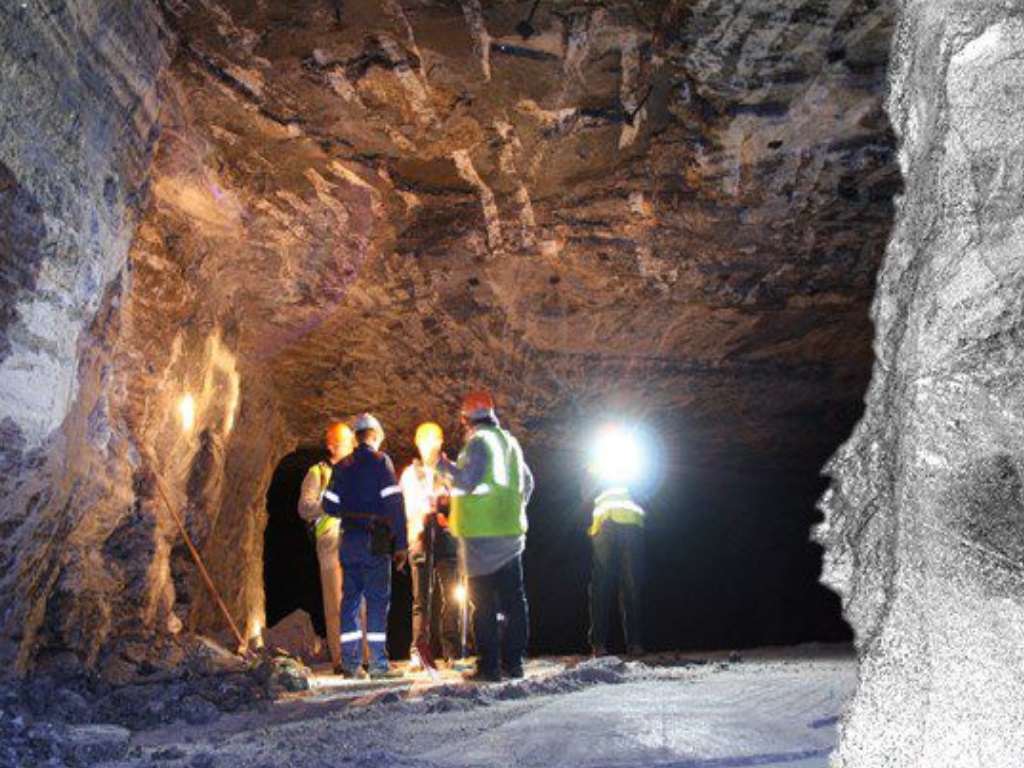
- Mines, quarries and underground cavities,
- Rockfalls, landslides and faults,
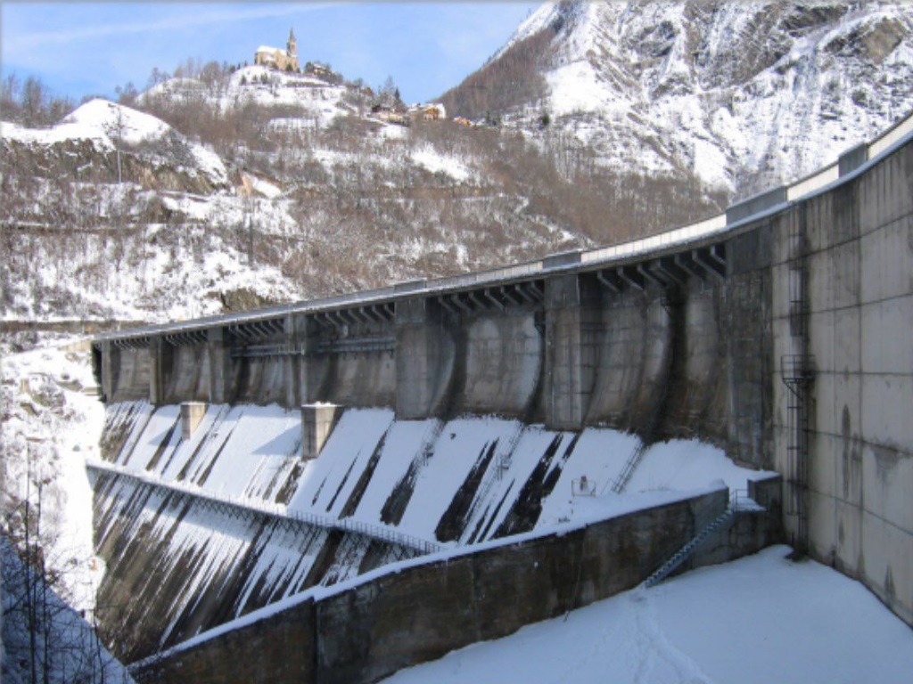
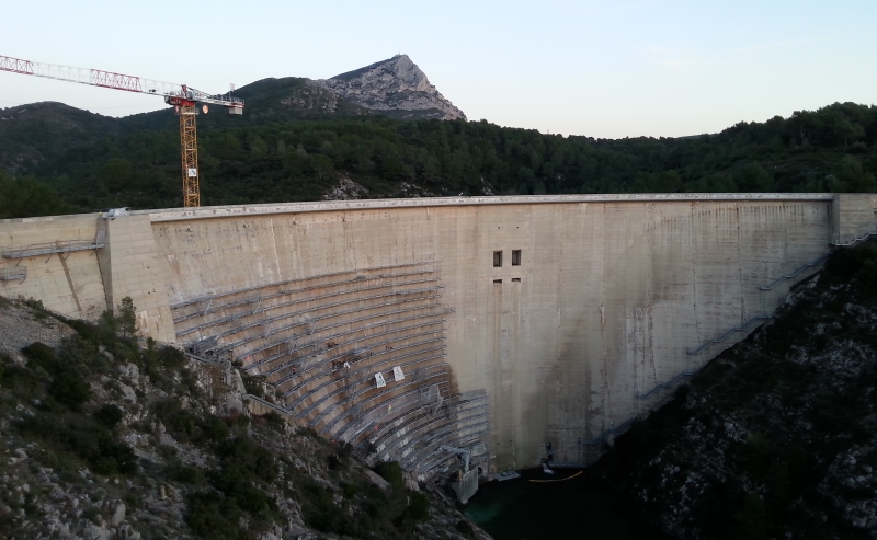
- Structural engineering, dams and embankments,
- Geological storage and rock reservoirs.
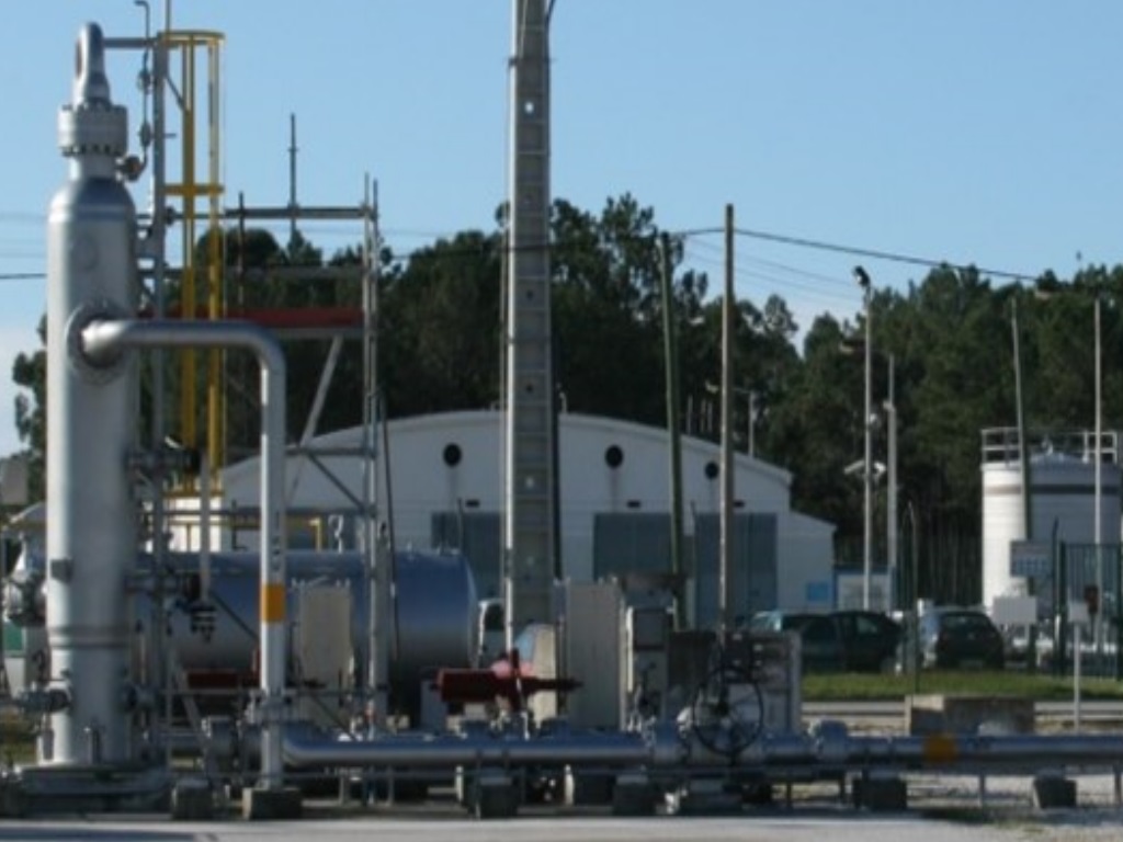
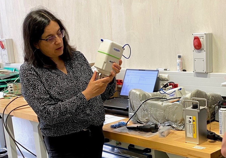
Monitoring solutions
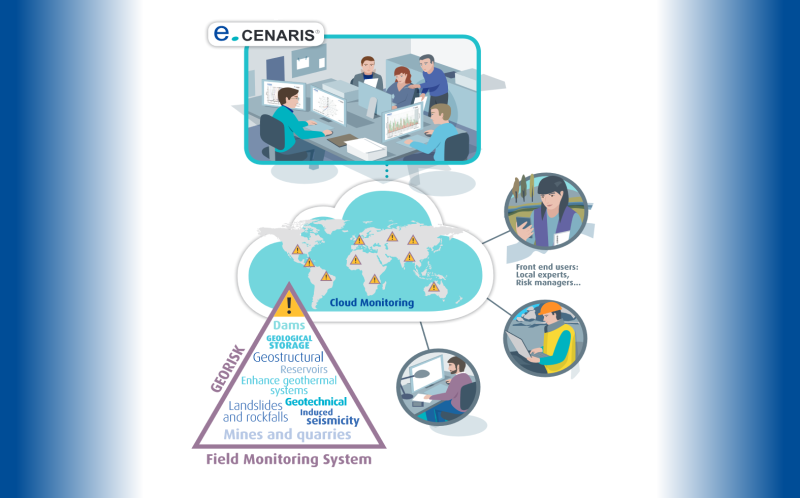
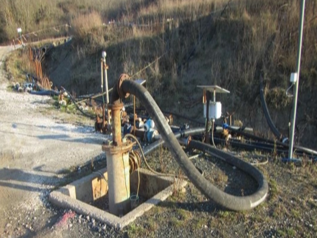
e.cenaris cloud monitoring infrastructure
multi-parameter remote measurement systems that cover slow and fast measurements in a synchronized way such as geophysical (microseismic, acoustic, ultrasonic, vibration), geotechnical and hydrological, geodetic and meteorological measurements and gas data;
tools developed for the near real-time automatic management of multi-parameter databases related to remote control, processing, scientific analysis as well as alarm setting software;
a secured web-monitoring interface to easily access to data, metadata and associated results, with sharing conveniences between the project’s stakeholders.Note that e.cenaris infrastructure can be used as a centralizing solution to collect and to manage data acquired from whatever already-existing remote monitoring system.
Solution overview
Overview of its main functionalitiesYou want to access to a Demo interactive webpage, please send an e-mail to:
cenaris@ineris.fr
Case studies
Inclusive strategies to better understand and control seismo-geotechnical hazards in deep underground operations.
More details more_horiz
Case study of multi-parameter monitoring for better forecasting capabilities of geohazards in mines
More details more_horiz

Case study of real-time microseismic monitoring of solution mines prone to ground collapses
More details more_horiz
Case study of a thermo-mechanical field test simulating high frequency gas storage cycles in salt caverns
More details more_horiz
Acquisition par l’Ineris d’un parc de nodes sismiques et premier déploiement sur le terrain pour caractériser les mouvements du sol
More details more_horiz
Deep underground exploitation: signature of a collaboration agreement with the Swedish company Boliden
More details more_horiz
Our experts in mission in Beijing to evaluate a new large-scale observation and monitoring solution for sites subject to ground movement hazards
More details more_horiz
RFCS RAFF Project - Long-Range Laser Scan Campaign at Lake Most (Czech Republic)
More details more_horiz
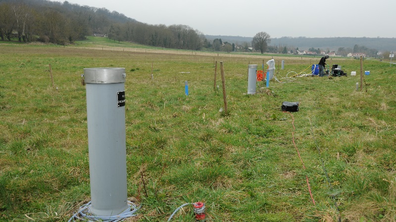
Projet national ROSTOCK-H - Suivi du scénario de simulation de fuite d’hydrogène à Catenoy (Oise)
More details more_horiz
News
Specific Risks of High-Enthalpy Geothermal Power Plants
Ineris presents the Report on “Specific Risks of High-Enthalpy Geothermal Power Plants” at the 2025 Geothermal Days
Dates : June 19–20, 2025
Place : Biarritz
Discussions on Fibre Optic Monitoring Solutions (DTSS)
Ineris Welcomes Anna Serpetsidaki, Researcher at the University of Patras (Greece), for Discussions on Fibre Optic Monitoring Solutions (DTSS)
Dates : May 19-23, 2025
Place : Nancy
60 ans de collaboration INERIS - Mines Nancy - GéoRessources
Une journée de célébration le 5 décembre 2024
Dates : 5 décembre 2024
Place : Mines Nancy, Campus Artem, Nancy
Scientific and technical webinar
Presentation of the Good Practice Guide for the control of seismicity induced by deep geothermal operations
Dates : June 24, 2024 from 4pm to 5pm
Lieu : online - login details below
Defense of a thesis co-financed by Ineris
Relationship between seismicity and aseismic deformation in a deep mine. Example of the Garpenberg mine, Sweden.
Dates : Friday September 29, 2023
Place : Nancy, France
Scientific Workshop
Mining & Post-Mining Seismicity
Dates : September 20 to 21, 2023.
Place : Luleå University of Technology (Sweden) + Remote access
European RFCS PostMinQuake Project
Ineris and BRGM welcome the partners of the European RFCS PostMinQuake project to Gardanne for technical exchanges on post-mining seismicity and site visits.
Dates : June 14th to 16th, 2023.
Lieu : Gardanne
International Conference
Underground storage and geoenergies: solutions for energy transition?
Dates : June 12th to 16th, 2023.
Lieu : Ecole Polytechnique, Paris
Sécurité des cavités souterraines
l’Ineris inaugure sa plateforme expérimentale et pédagogique à Saint-Maximin (Oise).
Date : Le 15 septembre 2022
Lieu : Ancienne carrière souterraine Parrain, située à la Maison de la Pierre sur la commune de Saint-Maximin
Instrumentation en milieux souterrains
Panorama de moyens et outils modernes pour diagnostiquer des ouvrages souterrains, présenté aux journées techniques du PoCES.
Date : Du 07 au 09 juin 2022
Lieu : Écurey Pôles d’Avenir, Montiers-sur-Saulx.
Valorisation des cavités souterraines :
Combiner le patrimoine et la gestion du risque !
Date : Le 25 Novembre 2021 de 9h à 12h40
Lieu : Visioconférence
Dalija Namjesnik a obtenu le grade de docteur de l’Université de Lorraine, le 29 juin 2021, après avoir soutenu brillamment sa thèse portant sur l’Origine de la sismicité observée dans le bassin houiller abandonné de Gardanne et son lien avec l’ennoyage des travaux miniers.
Soutenance de thèse d’une doctorante de l’Ineris
Date : Le 29 Juin 2021.
Lieu : Mines Nancy, Campus ARTEM, France.
Projet EPOS - Atelier et session de formation sur les risques anthropiques
Le service thématique EPOS « Risques anthropiques » organise un atelier et une session de formation pour et par la communauté de la sismicité induite.
Date : Le 16 juin 2021.
Lieu : Le workshop se déroulera via Cisco Webex
Instrumentation en milieux souterrains
L’observatoire de Château Landon, présenté aux journées techniques du PoCES.
Date : Le 15 juin 2021.
Lieu : Ecurey Pôles d’Avenir, Montiers-sur-Saulx.
Séminaire scientifique
Sismicité induite et déformations asismiques en contexte minier
Date : Le 25 mars 2021.
Lieu : Le séminaire se tiendra à distance sur Teams.
Sismicité induite et géothermie profonde :
Lancement d’une thèse sur la compréhension et la maîtrise des risques de sismicité induite
Date : Le 07 février 2020.
Downloads
- SYTMIS probes for microseismic monitoring of underground operations and geosystems
cloud_download visibility - Le drone aérien en appui des inspections géotechniques souterraines
cloud_download visibility - Innovative technologies for geotechnical and microseismic monitoring
cloud_download visibility - La lasergrammétrie terrestre à longue portée au service de l’auscultation géotechnique
cloud_download visibility - Plateforme souterraine d’essais géotechniques et de gestion du risque cavité
cloud_download visibility - Sonde SYTMIS 1DM pour la surveillance acoustique de cavités abandonnées
cloud_download visibility - SYTGEM Unité d’Acquisition, Système de Télésurveillance Géotechnique et Microsismique
cloud_download visibility - SYTGEM geotechnical and microseismic monitoring system
cloud_download visibility - Radio transmetteurs SYTGEO RTS et RGPS pour la surveillance des mouvements de terrains
cloud_download visibility - SYTGEO receivers for geotechnical monitoring of underground operations and geostructures
cloud_download visibility - SYTMIS software suite for seismic monitoring of underground operations and geostructures
cloud_download visibility - Scanner laser 3D au service de l'expertise géotechnique
cloud_download visibility - Fiche Produit Carte SYTMIS v2
cloud_download visibility

- Induced seismicity monitoring applied to underground operations and geosystems
cloud_download visibility - Stress measurements and stress monitoring applied to geostructures
cloud_download visibility - e.cenaris: Cloud Monitoring Solution
cloud_download visibility - Surveillance des cavités abandonnées
cloud_download visibility - Surveillance des pentes et versants instables
cloud_download visibility
- Inclusive strategies to better understand and control seismo-geotechnical hazards in deep underground operations
cloud_download visibility - Case study of multi-parameter monitoring for better forecasting capabilities of geohazards in mines
cloud_download visibility - Case study of a complete 3D stress field diagnosis in a large gravity dam
cloud_download visibility - Assessing surface gas emissions in a post-mining site
cloud_download - Evaluation de l’aléa mouvements de terrain lié à la dissolution du gypse – Exemple du Bois de la Tussion en Seine-Saint-Denis
cloud_download visibility - Evaluation de l'aléa mouvement de terrain lié à une exploitation souterraine par la modélisation numérique 3D : cas de la carrière de craie de Meudon
cloud_download visibility - 3D Modelling of geostructures with complex rheology: excavation of a gallery lined with compressible arched segments
cloud_download - Case study of a thermo-mechanical field test simulating high frequency gas storage cycles in salt caverns
cloud_download visibility - Étude des risques résiduels d’une exploitation de sel par dissolution pour l’établissement du Dossier d’Arrêt Définitif de Travaux miniers (DADT). Cas du site d’Urcuit (Aquitaine)
cloud_download visibility - Microseismic monitoring applied to underground natural gas storage
cloud_download visibility - Numerical modelling of the dissolution of rocks
cloud_download - Case study of real-time microseismic monitoring of solution mines prone to ground collapses
cloud_download visibility - An advanced numerical model to study CO2 geological storage in unsaturated porous fractured rock masses
cloud_download
- Dispositif de positionnement satellitaire (GNSS) pour la surveillance de mouvements de terrain
visibility - Analyse de cas de sismicité liée à l’exploitation de la géothermie profonde
visibility - Dispositifs d’alerte appliqués aux instabilités de pente
visibility - Phénoménologie des instabilités géologiques en grand et signes précurseurs
visibility - Bilan de mise en œuvre et d’expertise du dispositif de télésurveillance expérimentale du versant des Ruines de Séchilienne
visibility - Méthodologie de surveillance du risque de fontis en cavité souterraine par méthode acoustique
visibility - Origine de l'essaim sismique de Fuveau et son lien avec l'ennoyage des anciens travaux miniers
visibility - Guide sur les solutions de mise en sécurité des cavités souterraines abandonnées d’origine anthropique
visibility - Méthodes terrestres de surveillance en grand des instabilités de versants: revue des technologies RADAR et LIDAR du marché
visibility - Impact des vibrations sur la stabilité des carrières souterraines
visibility - Etat des connaissances concernant les aleas et les risques lies a la sismicite anthropique
visibility